

March 12, 2008
South Pole
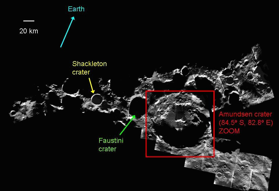
The ESA has released a pair of maps generated from images taken by the SMART-1 probe. They show the area that is often mentioned as one of the prime landing sites for NASA's Project Constellation.
Comments are disabled.
Post is locked.
Posted by: Fred Kiesche at
07:27 AM
| No Comments
| Add Comment
Post contains 39 words, total size 1 kb.
12kb generated in CPU 0.234, elapsed 0.2605 seconds.
55 queries taking 0.2389 seconds, 140 records returned.
Powered by Minx 1.1.6c-pink.
55 queries taking 0.2389 seconds, 140 records returned.
Powered by Minx 1.1.6c-pink.